Authorities in Uttarakhand’s Pithoragarh district have placed villages along the Kali River on alert after a major landslide partially blocked the Chameliya River in neighbouring Nepal, causing water to accumulate upstream and raising concerns about a possible sudden rise in river levels.
The incident occurred at Bhattad in Ward No. 1 of Api Himal Rural Municipality in Nepal’s Darchula district. A large section of a hillside reportedly collapsed into the Chameliya River, restricting its natural flow and leading to the formation of an artificial lake-like accumulation of water.
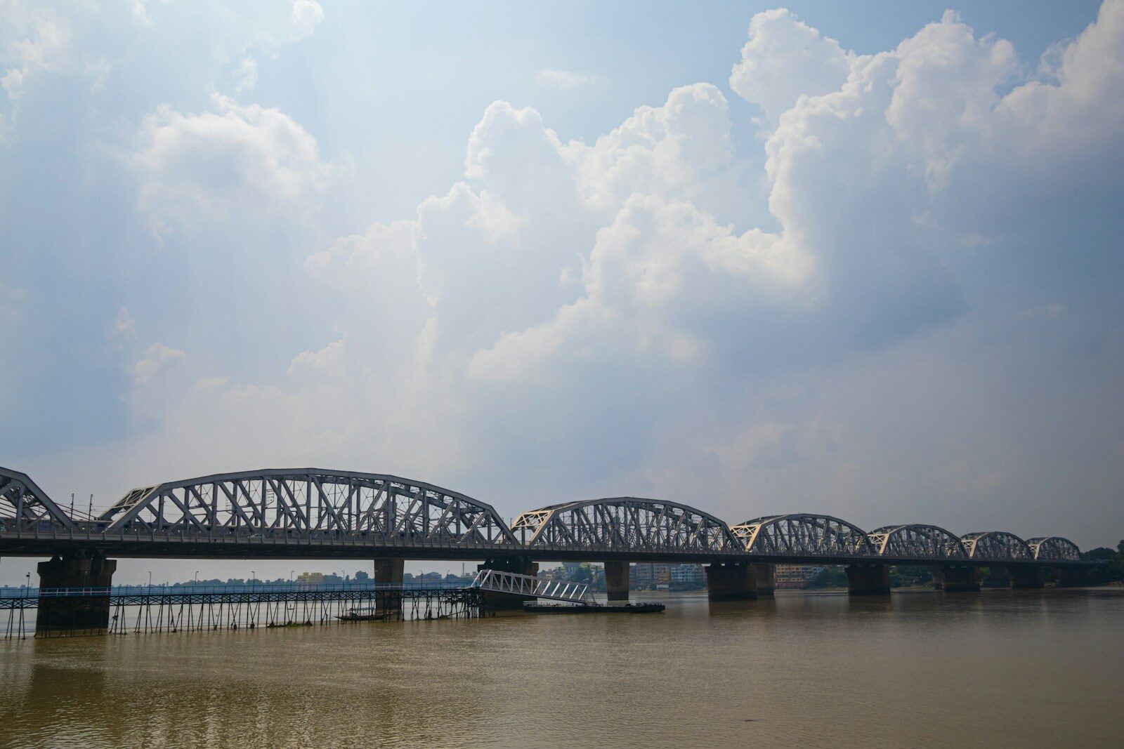
The Chameliya is an important tributary of the Kali River, also known as the Mahakali in Nepal. Because the river eventually joins the Kali, any sudden release of accumulated water could potentially affect settlements downstream on both sides of the India-Nepal border.
The situation prompted the Pithoragarh district administration to issue an alert for people living near the Kali River, particularly around the Jhulaghat region.
Residents have been advised not to approach the riverbank unnecessarily and to remain attentive to instructions from the administration.
Pithoragarh District Disaster Management Officer Bhupendra Singh Mahar said Indian authorities received information about the situation from officials in Nepal’s Baitadi and Darchula districts.
The immediate concern is not simply that water has accumulated behind the landslide debris. The greater potential danger is what could happen if the natural blockage suddenly gives way.
When a landslide blocks a river, water can accumulate behind the debris and create a temporary natural dam. If that obstruction fails suddenly, a large quantity of water can move downstream within a relatively short period.
Such a situation can create a flash-flood risk for settlements located close to the river.
However, authorities have stressed that a catastrophic breach had not been reported at the time the alert was issued.
Nepalese officials said the landslide had partially obstructed the Chameliya rather than completely stopping its flow. Water was continuing to pass through a substantial part of the channel.
Darchula Chief District Officer Vart Raj Paudel said there was no immediate danger because water was still flowing through approximately half of the river channel.
This distinction is important. The alert is precautionary and reflects the potential risk of the accumulated water being released suddenly rather than confirmation that a major flood has already occurred.
The situation has nevertheless caused concern among residents living along the Kali River in India.
Villages and settlements including Gethigada, Simpani, Taleshwar, Jhulaghat, Kanri, Saptari, Seemu, Baltari, Tarigaon and Haldu are among areas where residents have been closely following developments.
Some of these settlements are situated extremely close to the river, making any sharp increase in the Kali’s water level a serious concern.
The Pithoragarh administration has consequently asked security and disaster-response agencies to remain prepared.
The Sashastra Seema Bal and Indo-Tibetan Border Police have been asked to remain ready to provide assistance if required. Police and other concerned departments have also been placed on alert.
The situation is being monitored in coordination with authorities across the border in Nepal.
This cross-border coordination is particularly important because the Kali River forms part of the boundary between India and Nepal. A hydrological event originating in Nepal can therefore directly affect communities in Uttarakhand.
On the Nepal side, precautionary measures have also been taken.
Reports indicate that around 15 families living near the affected section of the Chameliya River were shifted to safer locations as a preventive measure.
Residents living close to the Chameliya and personnel associated with hydropower projects in the area were also advised to remain cautious.
The region contains multiple hydropower installations, including the Chameliya Hydropower Project and other projects located along the river system.
Nepalese security agencies have been mobilised to spread awareness among residents about the potential danger.
The situation has been complicated by continued rainfall in the Himalayan region. Additional rain can increase inflow into an already partially obstructed river and can also trigger fresh landslides.
If additional debris falls into the Chameliya, the blockage could become larger and cause more water to accumulate.
On the other hand, reports from September 5 indicated that some of the accumulated debris had gradually begun moving and the size of the temporary water accumulation was reducing.
Pithoragarh disaster-management officials subsequently indicated that the situation in the Chameliya was moving towards normal, although Indian security agencies and departments remained on alert.
The precaution remains important because river conditions in mountainous regions can change rapidly.
The Kali River itself has also been carrying elevated water following heavy rainfall across Uttarakhand.
At Dharchula, the Kali reportedly reached around 889.50 metres on September 5, crossing its warning threshold of 889 metres.
The danger level at the monitoring location is around 890 metres, meaning the river was less than half a metre below the danger mark at one point.
This broader rise in the Kali adds another layer of concern to the situation created by the Chameliya landslide.
The river-level situation is not solely the result of the blockage in Nepal. Heavy rainfall across Uttarakhand and upstream catchment areas has also increased flows in several rivers.
Pithoragarh received substantial rainfall during the latest monsoon spell, while landslides and falling boulders disrupted road connectivity across the district.
The wider weather situation across Uttarakhand has remained challenging.
Heavy rain triggered landslides and road blockages in multiple districts, with more than 100 roads reported closed across the state during the latest spell.
Pithoragarh was among the districts significantly affected by road disruptions.
Several rivers in Uttarakhand also crossed or approached their warning levels.
The Dhauliganga and Gauri Ganga in Pithoragarh were among rivers recording elevated levels, while the Kosi in Nainital and Banganga in Haridwar also required close monitoring.
The combination of saturated hillsides, continuing rainfall and swollen rivers increases the possibility of local landslides, erosion and sudden changes in water flow.
The India Meteorological Department has forecast continued rain over Uttarakhand during the coming days.
A yellow alert has been issued for the September 6-9 period, with light to moderate rain or thunderstorms expected at many places and isolated heavy rainfall possible in some districts.
This means the risk cannot be considered over simply because the Chameliya’s temporary blockage has shown signs of easing.
Fresh rainfall could alter the situation again.
For residents along the Kali River, authorities have emphasised that people should maintain a safe distance from the water.
Riverbanks, low-lying areas, temporary crossings and locations close to fast-moving water should be avoided while the alert remains in place.
People should also avoid travelling to riverbanks simply to observe rising water or record videos.
Mountain rivers can change rapidly when upstream water is suddenly released, and a location that appears safe can become dangerous within minutes.
Livestock should also be kept away from riverbanks wherever local authorities have issued warnings.
The landslide on the Chameliya demonstrates one of the distinctive hazards associated with Himalayan river systems.
Unlike flooding caused only by prolonged rainfall, landslide-dammed rivers can create a sudden downstream threat.
When rock, soil and vegetation collapse into a narrow river valley, the debris can function like a temporary dam.
Water then begins accumulating behind the obstruction.
If water gradually finds a path through the debris, the pressure can decrease without a major incident.
But if the blockage fails suddenly after a large volume of water has accumulated, the resulting surge can travel downstream rapidly.
This is why authorities in India acted even though the Kali River was initially described as normal around the affected area.
The purpose of the alert is to ensure that communities are prepared before any possible sudden change rather than responding only after water levels rise.
Officials have not announced a mass evacuation of Indian villages along the Kali River.
Instead, the administration has placed residents and security agencies on heightened alert and is continuing to monitor developments in coordination with Nepal.
The evolving nature of the incident also means unverified claims circulating on social media should be treated cautiously.
There was no confirmation at the time of the official alert that the temporary natural dam had catastrophically collapsed or that a destructive flash flood had entered India.
Similarly, reports of an artificial lake forming behind the landslide should not automatically be interpreted as meaning a major flood is inevitable.
The actual risk depends on how much water accumulates, how stable the landslide debris remains, how quickly water can pass through the obstruction and how much additional rainfall occurs.
Nepalese authorities have indicated that water continues to flow through part of the river, which reduces the immediate risk compared with a complete blockage.
Nevertheless, continuing landslides remain a concern.
The affected location is remote, which can also complicate direct assessment and emergency response.
Mountainous terrain, damaged roads and adverse weather can make it difficult for security and technical teams to quickly reach landslide sites.
That makes downstream monitoring and early warnings especially important.
For Pithoragarh, the incident comes during an already difficult period of monsoon weather.
Heavy rainfall has caused multiple landslides and road closures, while rivers across the district have been carrying high volumes of water.
The Kali is particularly important because communities, roads and other infrastructure are located along sections of its narrow valley.
Jhulaghat is also a significant border location connecting communities in India and Nepal.
Authorities on both sides therefore have a shared interest in continuously exchanging information about the Chameliya blockage and Kali River levels.
The immediate situation appears to be under monitoring rather than an active large-scale flood emergency.
Reports that some debris has begun moving and the accumulated water is reducing provide a degree of relief, but officials have not withdrawn their broader caution.
Residents along the Kali River should therefore continue following instructions from the Pithoragarh administration.
The SSB, ITBP, police and disaster-management authorities remain prepared to respond if river conditions change suddenly.
The coming period will depend heavily on rainfall and the stability of the landslide debris in Nepal.
If the Chameliya continues draining gradually, the immediate threat from the artificial accumulation should decrease.
If fresh landslides create another obstruction or intense rainfall significantly increases inflow, however, the risk could rise again.
For now, authorities are treating the situation as a potential hazard requiring close surveillance rather than confirmation of an impending disaster.
The key message for people living along the Kali River is therefore caution without panic.
The landslide in Nepal has partially obstructed the Chameliya River and created water accumulation upstream. Because the Chameliya eventually joins the Kali, Indian authorities have alerted downstream villages as a precaution against a possible sudden increase in water levels.
With the Kali itself recently crossing its warning threshold at Dharchula and heavy monsoon conditions continuing across Uttarakhand, officials are maintaining heightened vigilance.
Residents should stay away from riverbanks, follow official warnings and be prepared to move to safer locations if the administration issues further instructions. Continued coordination between Indian and Nepalese authorities will remain crucial until the Chameliya River returns to a stable flow and the immediate landslide-related risk has passed.